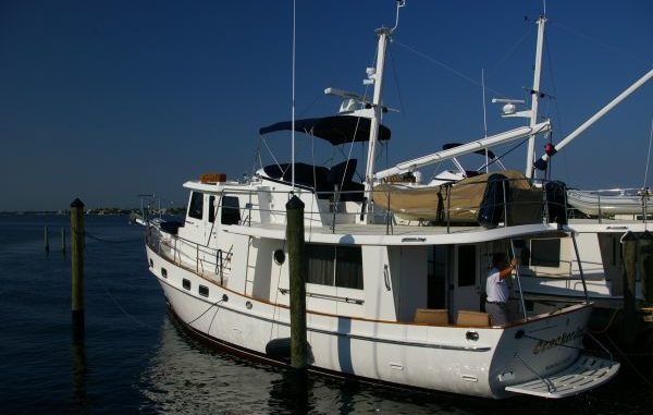
We cast off from Stuart, FL at 9.30 AM Wednesday and made it to Cape Henry, Chesapeake Bay at 8.30 AM Sunday morning. We still had a ways to go to our final destination and made it to a dock after dark on Sunday evening. Bright and early Monday morning we changed the oil in the John Deere that ran continuously for over 100 hours and did not burn a drop!
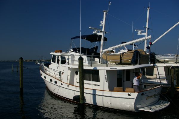
The owner and crew started in Stuart, FL where the boat was outfitted with all the electronics, dinghy mast and boom system. We planned our grocery list, loaded up on spare parts and headed out for a sea trial. Checking on the systems and getting a little ocean time under our belt was important before we continued offshore all the way up the Atlantic Coast. After a short twenty mile run in the open water, we pulled into Fort Pierce Inlet to fuel up and headed back to sea.
Weather was perfect- nice easy swells which were great for a straight shot to Beaufort, NC our next planned stop. Then we planned to go inside through Coinjock and Norfolk, VA. A plan is just a plan so a few days later as we approached the decision point – Cape Hatteras – we changed our minds. The weather was holding and the forecast was good so we snuck around the Cape, the Graveyard of the Atlantic. Today it was meek as a lamb.
We were able to use the advantage of the Gulfstream and achieved 11.5 knots in a full displacement trawler. WOW, we were screaming along!
I can’t forget to mention a navigation scare. Remember this is a brand new boat with brand new installed electronics. The first night I was on watch passing the time productively. Looking on the paper chart to see where we were in relation to the US East Coast, I grew concerned. The new GPS Chartplotter showed N 28-95.172 and W 79-84.047. I could not find these numbers on the chart. I checked and thought and looked again until I checked my personal GPS Chartplotter. I carry my own GPS unit which showed different numbers, N 28-56.009 and W 79-50.493. I could find these on the paper chart. Later in the morning when the owner was on the bridge we discussed this problem and after a few minutes digging around for the GPS Chartplotter owners manual we discovered the new unit was set to read “hundredths” instead of minutes. Boy was that confusing.
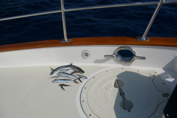
It wasn’t totally uneventful out on the open sea. Picking up the flying fish that landed on deck was a frequent occurrence. A giant leatherback turtle popped up to visit after a school of tuna ran with us a while. During one early morning watch we experienced a rogue wave that hit us on the starboard quarter and knocked everything off the countertops. Nothing was seen on the radar and there was only the one wave. I guess that is another mystery of the sea? A different night I heard dolphins spouting near the pilothouse door so I used my night vision goggles to watch them swim in the phosphorescence of the deep blue sea. A magnificent sight with the green luminescent bubbles streaming off their flippers and dorsal fins.
Great trip, I’m ready to go again.